California - Pumpout Station Pumpout Locations
For those who own a recreational watercraft, you must exercise diligence when it comes to protecting the waters of California. If you have installed a marine sanitation system such as a toilet, it must be connected to a holding tank with USCG certification, or you must make it secure so that there will be no discharges of sewage into the water.
The Clean Vessel Program provides boater education programs to promote public awareness about boat sewage and its proper disposal.
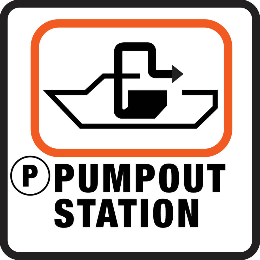
Recreational boaters can look for the following universal symbol, which directs boaters to public pumpout stations:

How do I find a pumpout station in California?
“Pumpout Nav” is a free iOS and Android mobile app that shows you where the nearest sewage pumpout, dump station and floating restrooms are located. The app shows nearest pumpouts to your location on a map or list its status. How does it work? If all is well, a pumpout will appear as a green place marker and once you tap on the marker, the station will read “operational.”
The app was first developed by California State Parks Division of Boating and Waterways’ (DBW) Clean Vessel Act (CVA) Program in partnership with the San Francisco Estuary Partnership and The Bay Foundation (funded by the U.S. Fish and Wildlife Services, Sport Fish Restoration and Boating Trust Fund) for boaters in the San Francisco Bay/Delta and Southern California regions. It has been picked up by CVA programs in other states. Boaters in Oregon, Washington, Florida, Rhode Island, and along Lake Champlain in the New York/Vermont/Quebec region can now find the location of publicly accessible pumpouts in their areas as well. Other organizations have said they are excited to get on board.
To download the Free Pumpout Nav App simply go to your the Apple App Store or Google Play and look for Pumpout Nav App
View the lists of Northern California pumpout stations
View the lists of Southern California pumpout stations
View the lists of floating restrooms