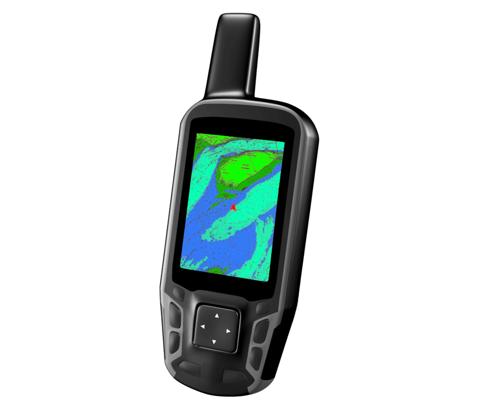
GPS or Global Positioning System
The GPS is a worldwide radionavigation system made possible by a network of satellites and monitoring stations. Its receivers can calculate where you are, anywhere on the planet, to within 30 m (98’5”). While more and more boat operators rely on marine GPS to tell them where they are on the water, it is a good idea to keep charts on board in case the GPS fails. With the aid of the nautical chart, whether integrated to the GPS or not, the boater can find his/her position on the map, and thus, on the body of water. If charts are integrated into the GPS, it is important to have backups available on paper in case of a GPS malfunction. It is highly recommended that you use fully charged batteries to allow peak performance of the GPS. Be careful to not drop it in the water, as most GPS’s are not waterproof.
