List of Cloud Types - Cloud Classification Cirrus - Cirrostratus - Cirrocumulus -Altocumulus - Altostratus - Nimbostratus - Cumulonimbus - Stratocumulus
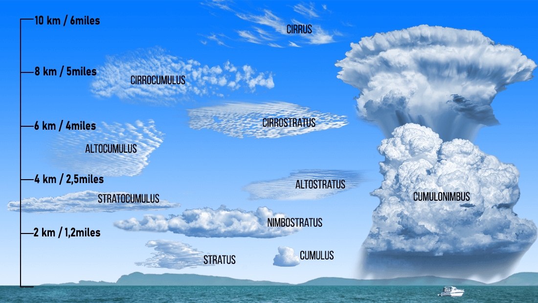
What Are the Different Types of Clouds?
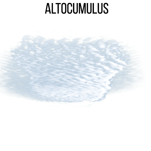
Altocumulus
Altostratus clouds are broad, gray or blue-gray cloud layers that form in the middle levels of the atmosphere, typically between 6,500 and 20,000 feet. They usually cover the entire sky with a smooth, uniform appearance, giving it a muted, hazy look. The sun can still be seen through altostratus, but it appears weak and diffused, never bright enough to cast shadows.
These clouds commonly develop ahead of warm fronts or large-scale storm systems, making them an important sign that steady rain or snow may be approaching. On their own, altostratus clouds produce little or no precipitation, but they often thicken and lower into nimbostratus, which brings continuous rainfall.
Altostratus clouds are composed of water droplets or a mix of droplets and ice crystals, depending on temperature. Their wide coverage and uniform texture help distinguish them from altocumulus, which appears more patchy or clumped.
Altostratus
Altostratus clouds are extensive, gray or blue-gray cloud layers that form in the middle atmosphere, usually between 6,500 and 20,000 feet. They often blanket the entire sky, creating a dull, hazy appearance. The sun may still be visible through altostratus but appears faint and blurred, never bright enough to produce shadows.
These clouds typically develop ahead of warm fronts or large, approaching storm systems. Because they signal rising moist air over cooler air, altostratus clouds are a strong indicator that steady rain or snow may soon arrive. While they rarely produce significant precipitation on their own, they commonly thicken and lower into nimbostratus, which brings persistent, widespread rainfall.
Composed of water droplets or a mix of droplets and ice crystals, altostratus clouds are smooth and uniform, making them easy to distinguish from the more textured and patchy altocumulus clouds.

Cirrus
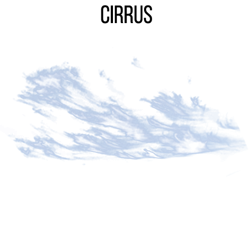
Cirrus clouds are thin, wispy clouds that form high in the atmosphere, usually above 20,000 feet. Made almost entirely of ice crystals, they appear delicate and feather-like, often stretching across the sky in long, graceful streaks. Their bright white color and fine texture make them some of the easiest high-level clouds to recognize.
Cirrus clouds typically develop in fair weather, but they are also important indicators of changing atmospheric conditions. When they thicken or increase in number, cirrus clouds often signal that a warm front or storm system may be approaching within the next 24 to 48 hours. Because they form so high in the sky, cirrus clouds never produce precipitation that reaches the ground.
Their distinctive shapes—such as mare’s tails or fall streaks—are created by strong winds aloft, which stretch ice crystals into long strands. Cirrus clouds play a key role in understanding weather patterns and predicting upcoming changes.
Cirrostratus
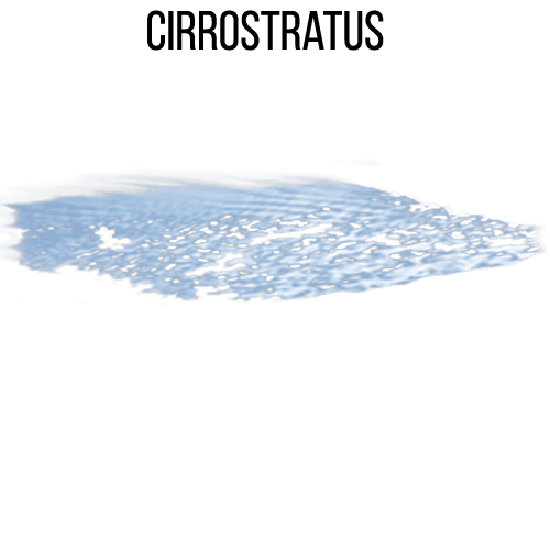
Cirrostratus clouds are thin, high-altitude cloud layers that form above 20,000 feet and often cover the entire sky with a pale, milky veil. Composed entirely of ice crystals, they are translucent enough for the sun or moon to shine through, frequently producing a distinctive halo effect—a circular ring of light caused by the refraction of light through ice.
These clouds are important indicators of changing weather. Cirrostratus clouds typically appear 12 to 24 hours before a warm front or major storm system, making them one of the earliest signs of approaching rain or snow. Although cirrostratus themselves do not produce precipitation, their presence signals increasing moisture and rising air in the upper atmosphere.
Their smooth, uniform appearance differentiates them from the wispy cirrus clouds and the patchy cirrocumulus clouds. When you see a bright halo around the sun or moon, cirrostratus clouds are almost always the cause.
Cirrocumulus
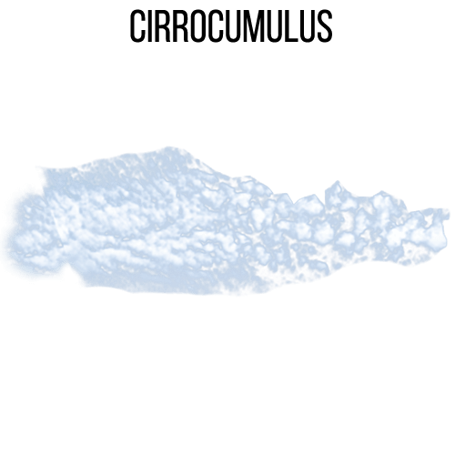
Cirrocumulus clouds are small, white cloud patches that form high in the atmosphere, typically above 20,000 feet. Made entirely of ice crystals, they appear as rows of tiny, grain-like clumps or ripples spread across the sky. Their pattern often resembles fish scales, earning them the nickname “mackerel sky.”
Cirrocumulus clouds usually indicate fair, calm weather, but when they increase rapidly or appear alongside other cirrus-type clouds, they can signal that a storm system or warm front is approaching. Unlike lower-level cumulus clouds, cirrocumulus clouds are thin, delicate, and never produce precipitation that reaches the ground.
These clouds help meteorologists identify atmospheric instability at high altitudes. Their distinctive rippled or tufted texture sets them apart from cirrostratus, which forms smooth, uniform layers, and cirrus, which appears as wispy streaks. When you spot a mackerel sky, it often means the atmosphere is beginning to change.
Cumulus
Cumulus clouds are the familiar, fluffy, white clouds often described as looking like cotton balls floating in the sky. They form at low to mid-level altitudes, typically below 6,500 feet, and develop when warm air rises, cools, and condenses into visible water droplets. Their well-defined edges and bright, puffy tops make them easy to recognize, especially against a blue sky.
Most cumulus clouds signal pleasant weather, and many remain harmless throughout the day. However, if conditions are unstable, they can grow taller and darker, developing into towering cumulonimbus clouds capable of producing thunderstorms, heavy rain, lightning, and even hail.
Cumulus clouds form a key part of daily weather observation, showing where rising air currents, or thermals, are active. Pilots and glider enthusiasts often use them to track air movement. Their classic shape and sunny appearance make cumulus clouds one of the most iconic cloud types in the atmosphere.

Cumulonimbus
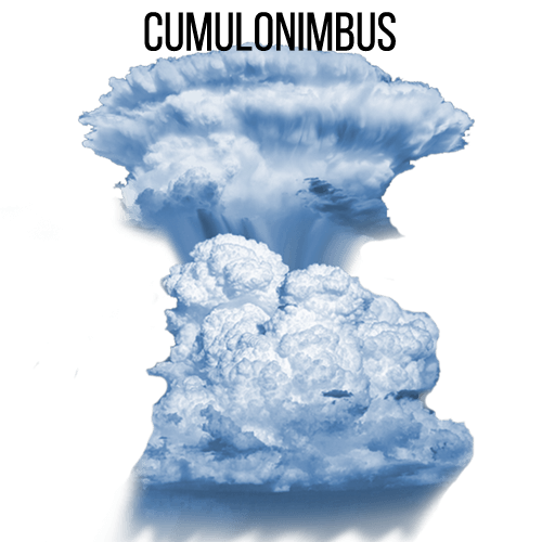
Cumulonimbus clouds are towering, dramatic storm clouds that can stretch from low levels of the atmosphere all the way up to 60,000 feet or more. They form when strong, rising air currents rapidly build a cumulus cloud vertically, creating a massive, dark, anvil-shaped structure. These clouds contain enormous amounts of water droplets and ice crystals, making them the engines behind severe weather.
Cumulonimbus clouds are responsible for thunderstorms, heavy rain, lightning, hail, strong winds, and even tornadoes. Their presence often signals rapidly changing and potentially dangerous weather conditions. The characteristic anvil top forms when the cloud reaches the boundary of the stratosphere, spreading outward due to strong upper-level winds.
These powerful clouds develop in unstable atmospheric conditions, especially on hot, humid days. Because of their height and intensity, cumulonimbus clouds pose significant hazards to aviation. Recognizing them is essential for understanding and predicting severe weather.
Nimbostratus
Nimbostratus clouds are thick, dark, and featureless cloud layers that cover the entire sky and produce continuous, steady precipitation. Forming at low to mid-level altitudes, these clouds create an overcast, gray atmosphere that can last for many hours or even an entire day. Their dense structure blocks nearly all sunlight, giving the sky a dull, uniform appearance.
Unlike towering cumulonimbus clouds that produce short, intense storms, nimbostratus clouds bring long-lasting rain or snow with little to no thunder or lightning. They typically develop ahead of warm fronts or in stable, widespread lifting of moist air. As the cloud deepens and thickens, visibility often decreases due to falling precipitation and low ceilings.
Nimbostratus clouds are composed mainly of water droplets, with ice crystals forming in colder layers. Their persistent, soaking precipitation makes them key players in large-scale weather systems and an important sign of prolonged unsettled weather.

Stratocumulus
Stratocumulus clouds are low, lumpy cloud formations that often appear as large, rounded patches or rolls stretching across the sky. They typically form below 6,500 feet and create a textured, gray layer that may cover most of the sky while still allowing small breaks of light to shine through. Their uneven, bumpy appearance distinguishes them from the smooth sheets of stratus clouds.
Although stratocumulus clouds can look heavy and dark, they usually produce little to no precipitation, with only occasional light drizzle or mist. They often form when a layer of warm, moist air meets cooler air near the surface, causing condensation in rolling, turbulent patterns.
Stratocumulus clouds are extremely common and frequently appear after a storm as the atmosphere begins to stabilize. They can also form along coastlines where cool ocean air interacts with warmer land air. Overall, they signal relatively stable, mild weather conditions with minimal rainfall.
